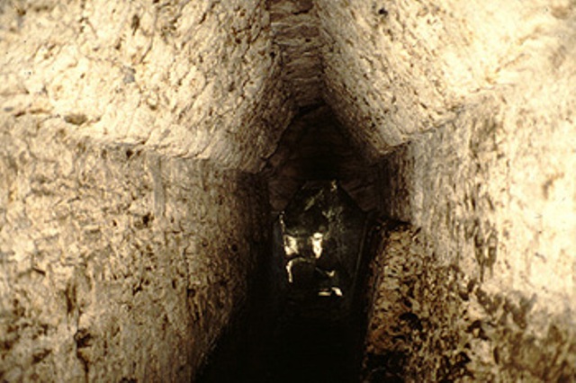
El Pilar lay shrouded beneath the protective forest canopy, silent since the time of Spanish conquest, until the Belize River Archaeological Settlement Survey project, directed by Anabel Ford, thought to conduct archaeological reconnaissance in the area. In 1983, with the collaboration of government archaeologists led by Jaime Awe, the team drove up to an area we were told held a big site. There we found farmers who had just cut and burned fields for planting maize and other crops. The fields they had prepared were the flat plazas of El Pilar. The major temples around the main plazas were covered with trees, and left signs of the remarkable Maya center that had been.
El Pilar is located 12 km north of the western Belize town of San Ignacio, astride the Belize-Guatemala border. The ridgeland escarpment where El Pilar is prominently situated extends from Guatemala’s Petén into Belize, north of the Belize River Valley. In order to reach El Pilar from the valley, you ascend this major escarpment, which extends more than 340 m above the valley floor.
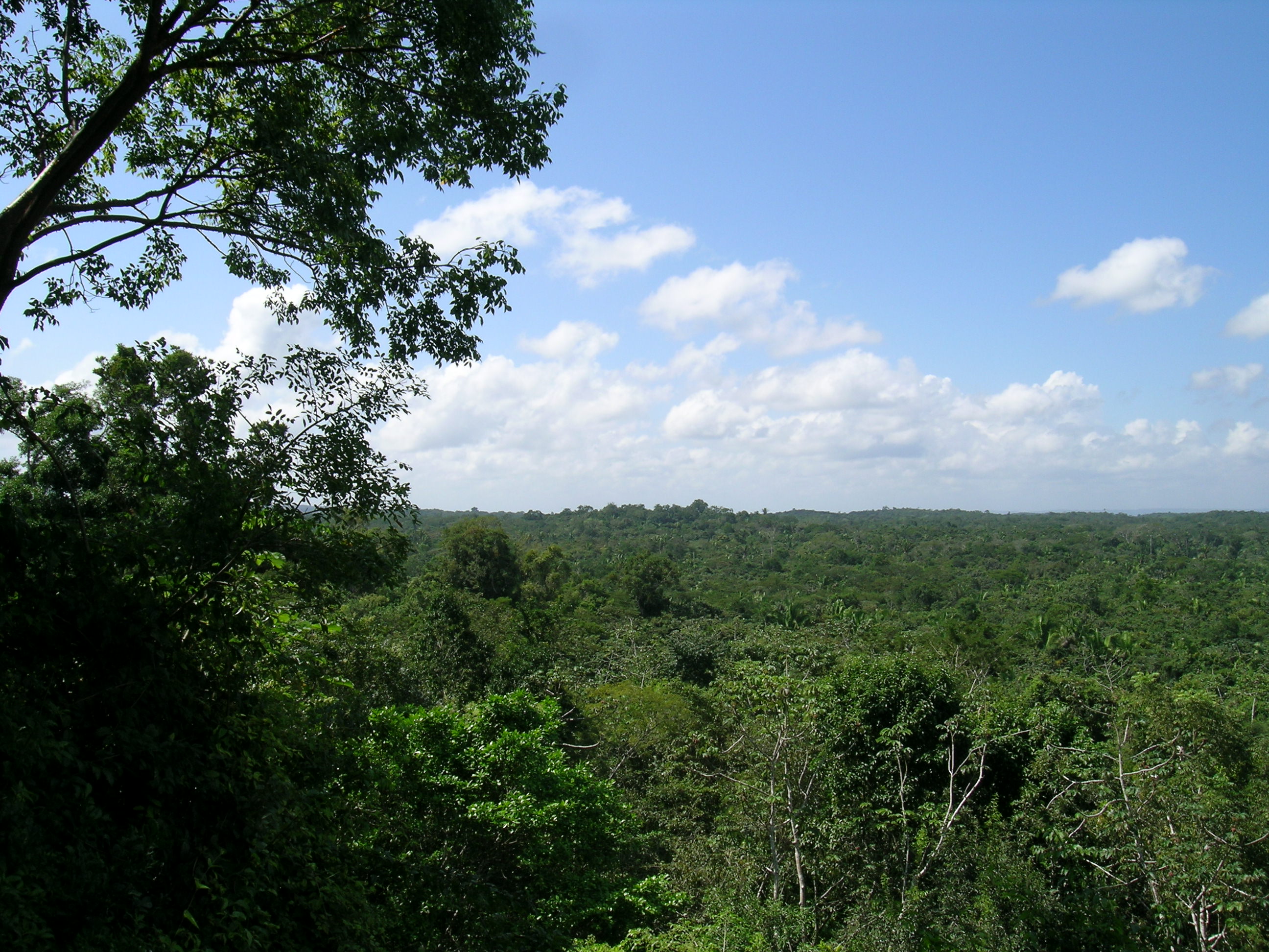
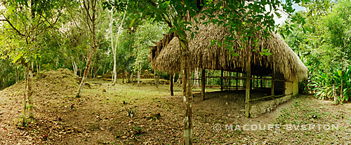
El Pilar stretches over an area of 100 acres and was built over the course of 18 centuries, from 800 B.C. to 1000 A.D. Since 1993, the El Pilar project has been working at the site to develop an innovative interdisciplinary research strategy. The core of the El Pilar vision comes from archaeological research examining the evolution of the ancient Maya landscape. The present ecology of the Maya forest is a relic of the past relationship between the Maya and their environment. Studying the surrounding landscape gives greater archaeological and anthropological insight into ancient Maya life and practices.
The area has long carried the name of El Pilar. While the origin of this name is obscure, the numerous natural sources of water speak to the old Spanish word for watering basin or “pila”, whose collective would be designated in Spanish as El Pilar. Two local streams originate at El Pilar, one to the east, which we call El Pilar Creek, and one on the west referred to generally as El Manantial (‘The Spring’). About 2.3 km east is Chorro, once a lovely waterfall and protected water source that was destroyed by nearby clearing. Not far from the original waterfall is a minor center named Chorro, after the falls. The abundance of water in the vicinity of El Pilar is rare in the Maya area; the venerable ancient city of Tikal had no natural water sources at all. The population there relied on constructed reservoirs or aguadas. The center of El Pilar is situated at the edge of the interior ridgelands that begin east of Tikal. At the point where El Pilar is perched, the ridges overlook the eastern flat lands that run to the Caribbean Sea. This situation provides a natural outlet for water and in part explains its abundance here.
Tzunu'un view to the South
El Pilar has more than twenty-five identified plazas in an area of approximately 50 acres (20 hectares), ranking it equal with other major centers of the lowland Maya region. It is the largest center in the Belize River area, more than three times the size of other well-known centers such as Baking Pot or Xunantunich. The center of El Pilar is divided into three primary sectors: Xaman(North) Pilar, Nohol (South) Pilar, and Pilar Poniente (West).
The eastern and western sections are connected by an offset causeway system extending between two large public plazas, one in Belize and the other in Guatemala. Survey and excavations have been concentrated in the eastern side of El Pilar within Belize. The western section, Pilar Poniente, is across the border in the Republic of Guatemala where the main stern temple has been consolidated for view. The divided location of El Pilar held great potential for Belize and Guatemala, two countries that have a history of border dispute. Today, El Pilar is unique in existing as the only binationally managed archaeological reserve and a platform for discussion and collaboration between the contentious countries.