Using Cutting-edge LiDAR Technology to Discover Ancient Maya Households and Settlement Patterns at El Pilar
LiDAR, a remote sensing instrument capable of penetrating vegetation, is creating a shift in Mesoamerican archaeology that will transform research in forested areas world-wide. Today, LiDAR technology can provide detailed coverage of surface and forest characteristics sufficient to revolutionize archaeological fieldwork, especially densely forested areas such as the Maya forest.
Nevertheless, LiDAR results must be interpreted and validated in the field. The El Pilar project reports on the 2013 season of field validation of new LiDAR data for El Pilar Archaeological Reserve for Maya Flora and Fauna.
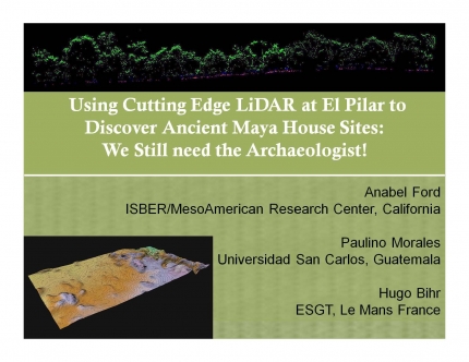
Recent coverage by Mayaniquel of LiDAR imagery over the 20 sq km El Pilar Archaeological Reserve in Belize and Guatemala has provided high resolution data gathered for the forest canopy and ground surface in a dense “point cloud.” The of the 2013 season are aimed at identifying features using new algorithms with superior LiDAR processing results for cultural features. Our field validations of features will help to establish a protocol for the production of a topographic and cultural map of El Pilar.